Solar Data and Collection
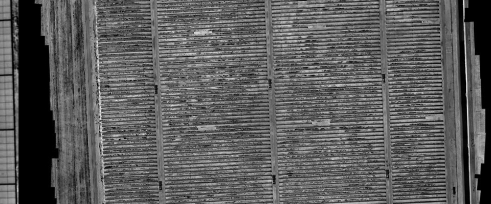
Airdata has developed an innovative collection technology specifically for solar panel installations, utilizing high end cooled IR sensors.
That data combined with RGB imagery can be processed in georeferenced multi-layer analytics to detect faults and solar efficiency issues.
This methodology with a fixed-wing aircraft and utilization of our sensors allows sites to be flown that are 100MW in one day. Major advantages over drones are speed of collection, allowing much higher accuracy and consistency of data by negating angular change of panel angles, an angular change of sunlight over time. Airdata has collected sites as big as 300MW in 2 days.
Additionally no specific FAA clearances for data collection close to airports and inner cities. Much less weather dependency, specifically wind. Commercial Rooftop installations like found on large commercial buildings can be flown in seconds, No need for local permission, or the FAA, also local residents don't ask questions. It's a major advantage over drones.
Data Collection & Services
Other services in data collection include imagery in UV, RGB, NIR, LWIR, MWIR, and SWIR. Derivatives like NDVI can be processed as well as anything that is an assignable mix of bands. Our array of data collection ability includes Hyperspectral.
Services can be extended to orthorectification and DTM / 3D modeling, also overlaying layers of different bands, from UV to SWIR, additionally export in ESRI if desired. Also video services with stabilized HD camera systems, including the live transmission of data.
Other services include FAA and STC certification for various airframes and sensor systems.
Customers
We have worked with many oil companies like Chevron, BP, and P66 for oil spill detection and tracking. Worked with law enforcement in the US. Collected data for utility companies like PG&E. Drone companies like Dronebase and PrecisionHawk. Development work with the FAA, Cessna, Phase one, Korning, and Calfire. Also collected data for Growing in the Bay Area, We flew the complete capitol Corridor railway track, 168 miles, 300m swath, and 3 cm accuracy., also the compete for the BART railway system in the SF Bay area. Another large project was a collection we did to build a 3D model in the South Bay of the greater Bay area for cellular tower placement.


